Ocean observing: a cornerstone for early warnings and coastal resilience
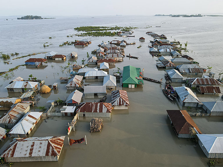
The impacts of climate change on the ocean are driving more frequent and intense extreme events at our coasts. International initiatives such as the United Nations Early Warning For All and the Global Ocean Observing System’s CoastPredict aim to revolutionize access to improved early warnings.

1 February 2024
In low-lying coastal regions, approximately 900 million people are now facing a 15-fold higher risk of perishing from extreme events compared to other areas. They are at the forefront of the climate crisis, and access to improved daily warnings can help protect these coastal communities from the escalating threat of natural disasters.
Extreme events, such as flooding and storms, are becoming more frequent and intense due to climate change and its impacts on the ocean, such as increasing sea surface temperatures. The key to mitigating these threats lies in our ability to produce accurate and timely forecasts and warnings – a capacity that critically depends on the continuous flow of ocean data.
The United Nations Early Warnings For All (EW4All) initiative, led by the World Meteorological Organization (WMO), will be pivotal to improving extreme event forecasts and warnings. By 2027, EW4All aims to ensure everyone on Earth is protected by early warning systems for hazards that are becoming more acute with climate change. “Accurate and timely information about oceanic parameters forms the foundation of effective early warning systems that will enable us to reach this goal,” emphasizes Dr. Albert Fischer, Director of the WMO Integrated Global Observing System, Infrastructure Department.
Ocean temperature: a key variable for early warnings
One key aspect of ocean observations for early warning systems is the monitoring of ocean temperatures. “Anomalies in sea surface temperatures can indicate the development of climatic phenomena such as El Niño or La Niña, which can have cascading effects on weather and climate patterns worldwide,” says Dr. Johan Stander, Director of Services Department at WMO. The impacts of such hazards reach much further than just coastal areas. For example, as Australia is going through its 2023-2024 bushfire season, the onset of El Niño, which is associated with warmer temperatures, is threatening the country with an even more extreme fire danger.
“By continuously tracking temperature changes through satellite and oceanic observations, scientists can better predict and understand these phenomena, enabling National Meteorological Services to issue early warnings and seasonal outlooks, and take measures to mitigate the risks,” says Dr. Stander.


