THE “OCEAN TO CLIMATE SEAMLESS FORECASTING SYSTEM” PROGRAMME DEVELOPS NEW-GENERATION SURFACE DRIFTING BUOY
First Institute of Oceanography (FIO), China, 01.02.2023
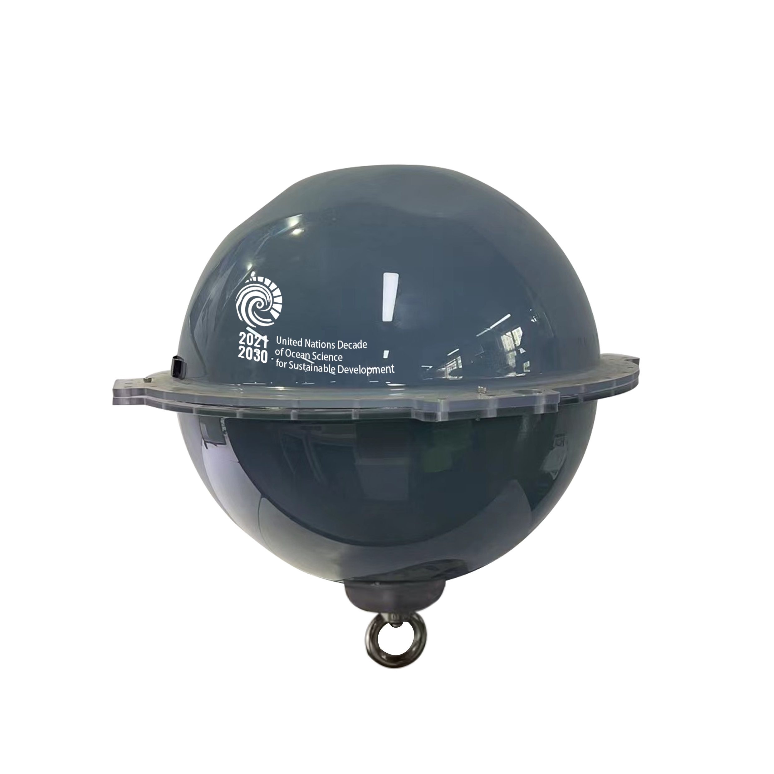
Through its Ocean Decade Programme “Ocean to Climate Seamless Forecasting System (OSF)”, the First Institute of Oceanography (FIO) of China’s Ministry of Natural Resources has created new-generation Global Navigation Satellite System (GNSS) surface drifting buoy. Being extremely low-cost, high-precision and intelligent, the developed GNSS surface drifting buoy provides significant opportunities for improved ocean observation and monitoring.

1 February 2023
The new-generation GNSS surface drifting buoy created by Professor Fangli Qiao, Principal Investigator of the OSF Programme and Deputy Director General of FIO, and his team, uses free signals from GNSS satellites to accurately obtain 10 important variables: geographic position, time, surface wave height, period and direction, surface current velocity and direction, surface sea temperature, surface sea salinity, and atmospheric water vapor content.
This achievement draws on years of seminal research led by Prof. Qiao, also a member of the Ocean Decade Advisory Board, who demonstrated how small-scale ocean waves play a crucial role in large-scale ocean circulation and the climate system, through modulating upper ocean mixing and air-sea fluxes. For this reason, ocean surface wave observation is of vital significance in itself, also in large-scale ocean circulation and global climate change.
Throughout history, there have been three major revolutions in global ocean observation. In 1978, the first ocean color satellite made large-scale synchronous ocean observation possible for the first time. In the 1980s, the development of tropical buoy arrays started, and the global tropical large-scale fixed-point continuous observation network was established, which has greatly improved the monitoring and prediction capabilities of El Niño-Southern Oscillation. At the beginning of the 21st century, a global ocean observation initiative – Array for Real-time Geostrophic Oceanography (Argo) – was launched. Today, about 4,000 Argo buoys are in operation in the global oceans, observing a vertical profile approximately every 10 days, and making real-time monitoring of the ocean in three dimensions a reality. The Argo Programme is also part of the Global Ocean Observing System (GOOS), co-led by UNESCO’s Intergovernmental Oceanographic Commission. High cost remains the bottleneck and great challenge of ocean observation, although tremendous efforts and series of technical achievements have been made. Read more


