Caribe Wave 2025 (March 20)
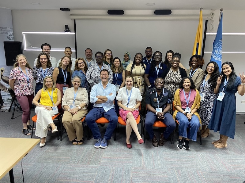
CARIBE WAVE is the annual tsunami exercise of the Intergovernmental Coordination Group for the Tsunami and Other Coastal Hazards Warning System for the Caribbean and Adjacent Regions (ICG/CARIBE-EWS) of the Oceanographic Commission (IOC) of the United Nations Educational, Scientific, and Cultural Organization (UNESCO).
Who organizes CARIBE WAVE?
A CARIBE EWS CARIBE WAVE task team is responsible for the overall conduct of the exercise. The NOAA/UNESCO IOC International Tsunami Information Center Caribbean Office (ITIC-CAR) serves as exercise coordinator with the Caribbean Tsunami Information Center (CTIC). Regional emergency management stakeholders (CEPREDENAC [Coordination Centre for the Prevention of Natural Disasters in Central America], CDEMA [Caribbean Disaster Emergency Management Agency], and EMIZA [French Inter-Ministerial for the Antilles Estate Major Zone]) also contribute to the successful conduct of the exercise.
What is the purpose of CARIBE WAVE?
The purpose of this exercise is to validate and advance tsunami preparedness efforts in the Caribbean and Adjacent Regions.
When is CARIBE WAVE 2025?
The annual Tsunami Regional Exercise, CARIBE WAVE 2025, will take place on March 20, starting at 1500 UTC. You can register here.
Which scenario will be used for CARIBE WAVE 2025?
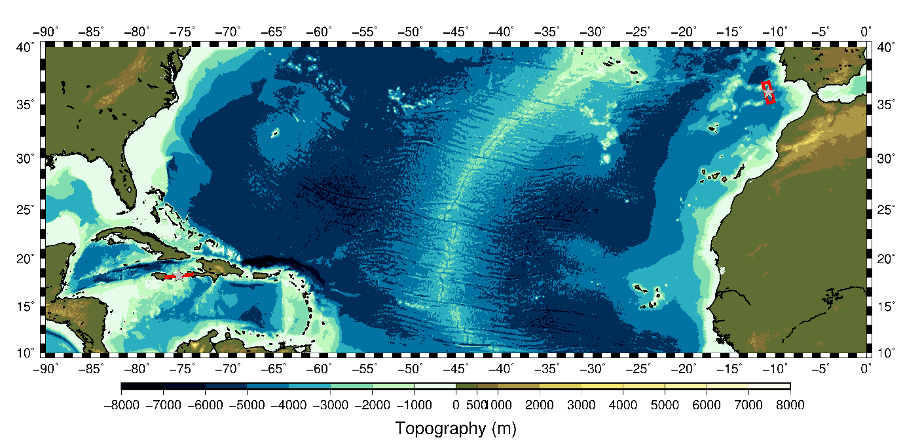
Two different scenarios will be simulated for CARIBE WAVE 2025. Each participating country will select the scenario that best fits their objectives. The first scenario simulates a tsunami generated by a magnitude 8.0 earthquake located along the Enriquillo-Plantain Garden Fault Zone (EPGFZ). The second scenario is a tsunami generated by a magnitude 8.5 earthquake located approximately 270 km off the Portugal coast.
Read more https://www.tsunamizone.org/caribewave/