Adapting to climate change: the role of ocean data
From carbon dioxide removal strategies, to predicting marine heatwaves and managing ecosystems, ocean data will play an important role in nations’ climate adaptation plans As nations convene in Dubai for the 28th Conference of the Parties (COP28) on climate change, the world’s collective focus is on the most pressing environmental and societal challenge that defines our times. Amidst the complexity and gravity of discussions around how to tackle and adapt to these changes, experts agree: data-driven decision-making is no longer a choice but a necessity.
The ocean is both a source of enormous potential in mitigating climate change, and a frontline witness to its impacts. The need for reliable, timely, and comprehensive ocean data has never been more critical.
At COP28, the Global Ocean Observing System (GOOS) outlines three areas that will heavily rely on more information from the ocean.

5 February 2024
Carbon dioxide removal strategies
As atmospheric carbon dioxide levels continue to rise due to human activities, carbon dioxide removal (CDR) strategies will likely play a pivotal role in addressing the root cause of climate change by either directly extracting carbon dioxide from the atmosphere or enhancing natural processes that sequester it.
The ocean acts as a vast carbon sink, absorbing around a third of the excess carbon dioxide emitted into the atmosphere, according to the Intergovernmental Panel on Climate Change (IPCC). A sustained flow of data on the ocean’s carbon uptake and storage processes is thus essential to scientists and policymakers working to remove carbon dioxide from the atmosphere and store it in the ocean. Baseline data on ocean carbon will be critical to the optimization of CDR strategies and making informed decisions about the most suitable locations and methods for carbon capture and storage.
“To achieve global net zero goals, it is essential to measure and report ocean carbon uptake,” says Anya Waite, co-lead of the GOOS Ocean Observing Co-Design carbon observing exemplar. “A co-designed ocean carbon exemplar will demonstrate the value of observing critical aspects of the ocean carbon cycle as we track atmospheric accumulation and fossil fuel emissions. Such coordination is essential to inform emission reduction targets and assess the feasibility of carbon dioxide removal strategies.”
Addressing marine heatwaves
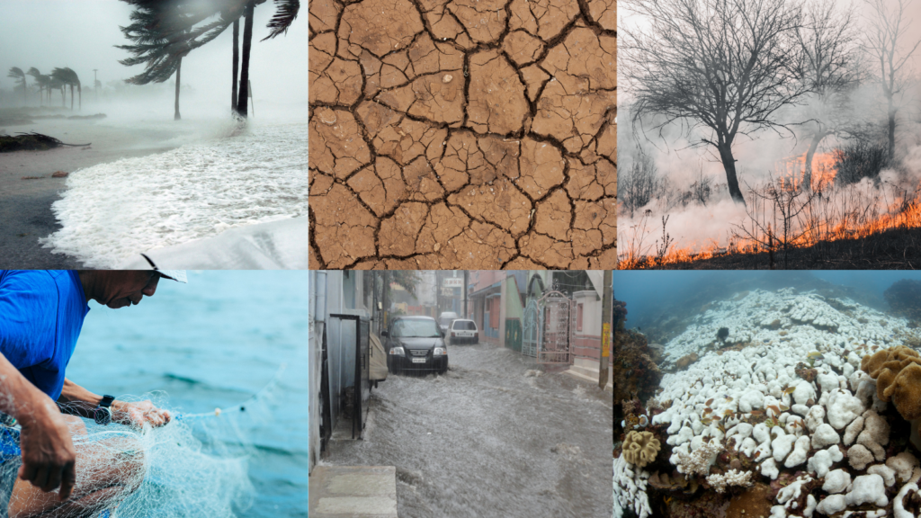
Marine heatwaves are periods of intense, anomalously warm ocean temperature that have garnered growing interest over the last years as they increase in frequency and impact on the state of marine life due to climate change. As an increasing stressor to marine ecosystems, marine heatwaves can cause shifts in locations of economically valuable species, as well as high mortality rates of numerous marine organisms.
The impact of marine heatwaves expands far beyond the oceanic realm: they also influence extreme events on land, such as droughts, heatwaves and tropical cyclones. Governments, industry and science will need to rely on ocean data to monitor the onset and intensity of marine heatwaves, enabling the delivery of timely warnings and proactive measures.
“Coastal communities depend on timely warnings and measures to safeguard their economies and ecosystems, for example, by preparing for heatwave-related disruptions in fishing and tourism,” says Alban Lazar, co-lead of the GOOS Ocean Observing Co-Design marine heatwave exemplar.
The marine heatwave exemplar is dedicated to co-design tools for and with communities experiencing extreme ocean events. It is particularly the case for artisanal fishery communities, who seek help for facing the ongoing increase of coastal marine heat waves and other extremes in their environment.


